Beyond the Lines: How Maps Shape Our Worldview at cLearn.it
History isn’t just found in textbooks; it’s drawn on the maps we hang on our walls. We believe that true geographical literacy starts with a simple, provocative question: Is the world actually shaped the way you think it is?
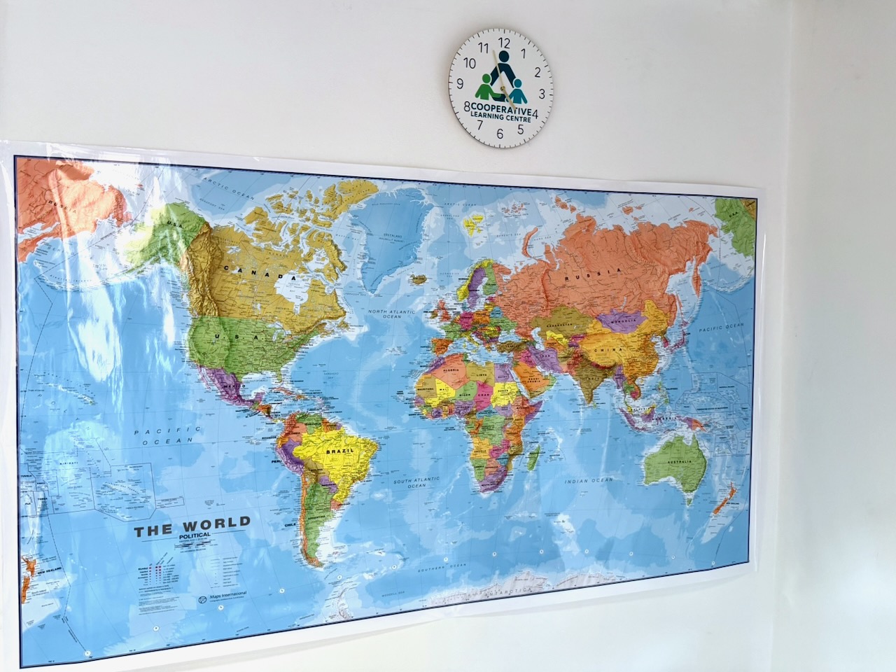
When students walk into our learning centers, they are often greeted by a modern political map of the world. But as our small-group tutors explain, these maps aren’t just objective facts—they are stories that have evolved over centuries.

The Evolution of Perception
Geography is relative. The way we view the world depends entirely on when and where we are standing.
- Ancient Perspectives: In centuries past, maps like the “Plan de l’Histoire Universelle” reflected the limited known world of the time, often centering on the Mediterranean or specific empires. These maps were as much about art and theology as they were about navigation.
- A Changing Horizon: As trade and exploration expanded, maps became more detailed, but they remained deeply subjective. Every culture placed itself at the “center” of the map, revealing their specific priorities and power structures.
The Mercator Legacy: A Eurocentric View
Even today, the most common map in our classrooms—the Mercator Projection—is a product of 16th-century navigation needs. While excellent for sailors, it creates a significant distortion:
- Size vs. Reality: Because the Mercator projection stretches the world near the poles, Europe and North America appear much larger than they truly are, while Africa and South America appear much smaller.
- A Eurocentric Bias: This visual hierarchy has influenced our perception for generations, subtly reinforcing a world view where the Northern Hemisphere is seen as dominant.
Geography in Small Groups: Critical Thinking
At cLearn.it, we don’t just ask students to memorize capitals. Using our primary and iGCSE curriculum resources, our tutors lead discussions that challenge these geographical “facts.”
- Physical vs. Political: We compare modern political maps with historical plans to show how borders are fluid and often reflect political power rather than natural landscapes.
- The “Why” Behind the Map: In our small-group sessions, students look at the tools on their desks—like the geog.2 textbook—and discuss how different projections change our understanding of climate, population, and resources.
- Tactile Learning: By working with physical maps and books, students develop a spatial awareness that digital screens simply can’t replicate.
Learning to See, Not Just Look
By teaching students that maps are relative, we empower them to become critical thinkers. Whether they are studying for their iGCSEs or just beginning their primary journey, we want them to understand that the world is a complex, beautiful place that can be viewed from a thousand different angles.
Geography at cLearn.it isn’t about looking at a wall; it’s about expanding the boundaries of the mind.
